|
|
| # | Date | Description | Picture | |
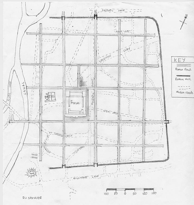
| 1 | Roman Era | A great map! Overlays the modern street map with the Roman one! | LINK | |
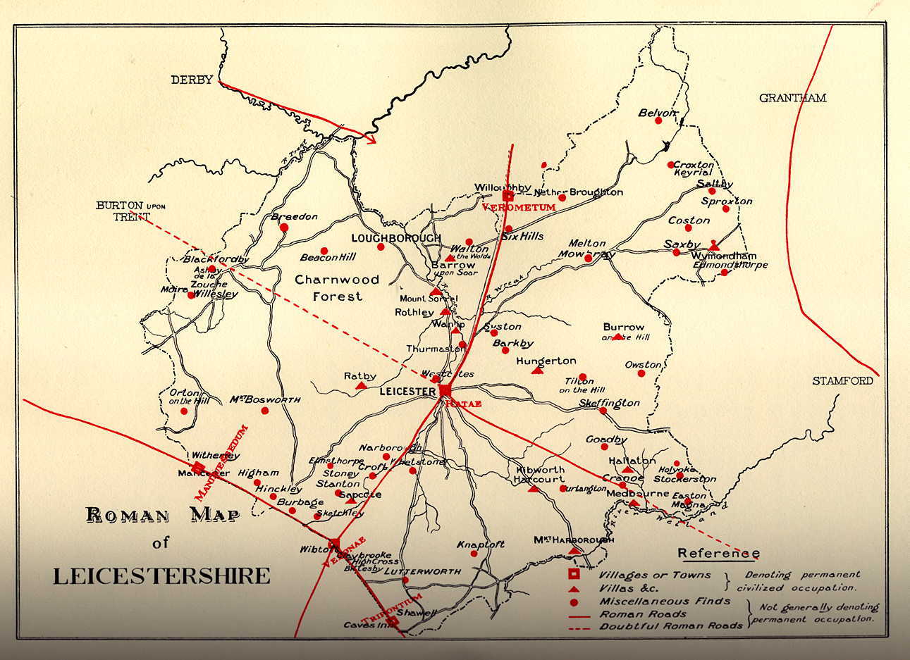
| 2 | Roman Era | This map shows the positions of al the Roman settlements in Leicestershire. Slightly blurred but nevertheless useful. | LINK | |
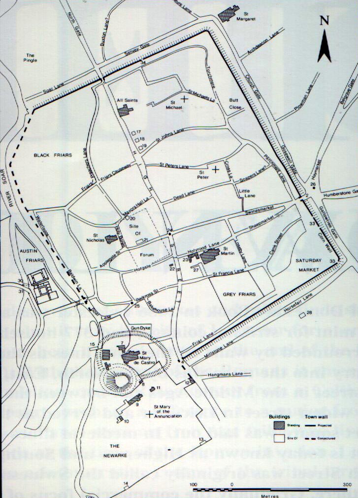
| 3 | Medieval | Although this map leaves a little to be desired, it provides a basic street plan of Medieval Leicester. | LINK | |
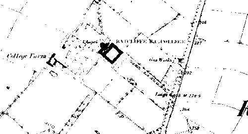
| 4 | 1887 | Ratcliffe College is in this picture, but most importantly, it shows the line of the Roman Fosse Way (now A46) |
 |
|
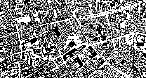
| 5 | 1888 | A rather murky of the city centre, but still has excellent historical value |
 |
|
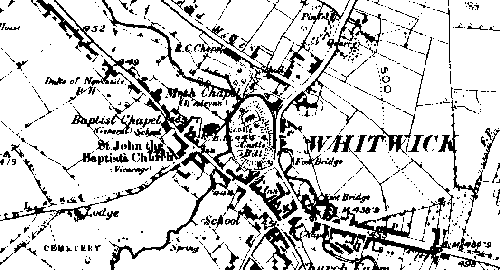
| 6 | 1888 | This shows Whitwick Castle in perspective to the village. A bit blurred around the castle though. |
 |
|
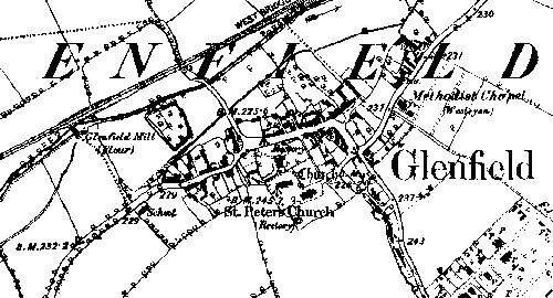
| 7 | 1888 | A very detailed map of Glenfield |
|
|
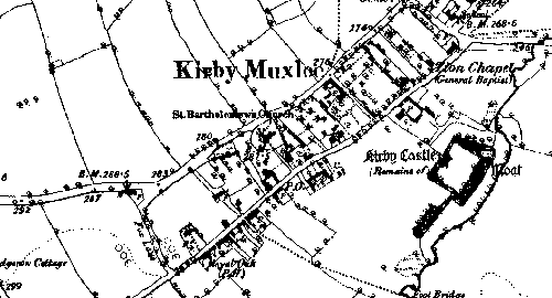
| 8 | 1889 | This is a great map! This shows exactly where the castle was in relation to the village. |
 |
|
| 9 | 1942 | These German target maps of Leicestershire were made by the Luftwaffe in Jan 1942. Click on the maps to enlarge. |
large.jpg) |
large.jpg) |
| West | East | |||
|
Primary targets are outlined in Red, secondary targets in Blue Maps Courtesy of Wartime Leicestershire |
||||
If you require a copy of any of these maps, please email us and we'll send you a better quality copy.